
You do not need an airplane window to look down on an endless carpet of white mist. Across India’s mountain ranges, from the crests of the Western Gha…

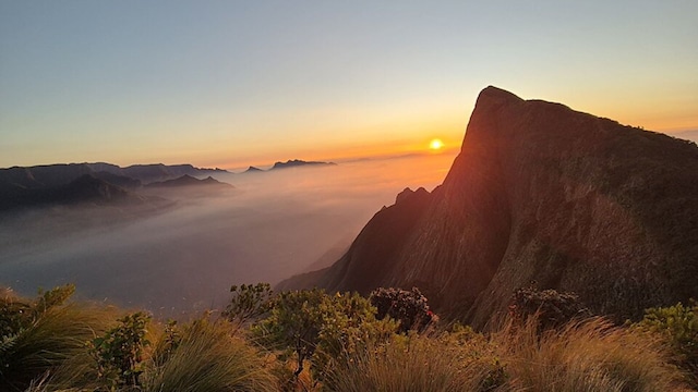
 1/10
1/10Kolukkumalai, Tamil Nadu | Situated in Tamil Nadu’s Theni district near the Kerala border at nearly 7,900 feet, this high-altitude organic tea estate is famous for sunrise panoramas where rolling white cloud carpets flood the valleys beneath the Western Ghats. Travellers can fly into Cochin International Airport (COK), drive four to five hours to Suryanelli near Munnar, and hire an authorised local 4×4 jeep to navigate the rugged 10-kilometre off-road mountain trail leading to the tea factory and ridge. (Image source: Wikimedia Commons)
 2/10
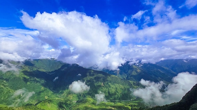
2/10Laitlum Canyons, Meghalaya | Translating to “End of Hills” in the local Khasi language, this amphitheatre of jagged cliffs plunges down into deep, verdant gorges that fill with swirling oceans of mist and low-hanging clouds during morning hours. It is easily accessible by flying to Shillong Airport (Umroi) or Guwahati Airport, driving to Shillong, and taking a scenic 45-minute cab ride (roughly 22 km) via Smit village straight to the canyon rim. (Image source: Wikimedia Commons)
 3/10
3/10Sandakphu, West Bengal | As the highest point in West Bengal at 11,930 feet along the Singalila Ridge, Sandakphu offers the surreal sight of the “Sleeping Buddha” (the Kanchenjunga massif) rising out of an endless sea of clouds, with Mount Everest and Lhotse visible in the distant western cluster. Visitors can fly to Bagdogra Airport (IXB) or take a train to New Jalpaiguri (NJP), drive to the base village of Manebhanjan, and either complete a multi-day trek through Singalila National Park or hire an authorised vintage 4-wheel-drive Land Rover. (Image source: Wikimedia Commons)
 4/10
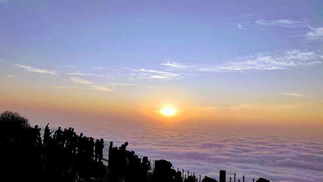
4/10Nandi Hills, Chikkaballapur, Karnataka | Rising roughly 4,850 feet above sea level, this ancient hill fortress is renowned for its early morning cloud inversion, where the surrounding plains completely vanish beneath a dense, billowy ocean of white mist before sunrise. Located just 60 kilometres north of Bengaluru and 35 kilometres from Kempegowda International Airport (BLR), the viewpoint is directly reachable via National Highway 44 followed by well-paved winding ghat roads. (Image source: Wikimedia Commons)
 5/10
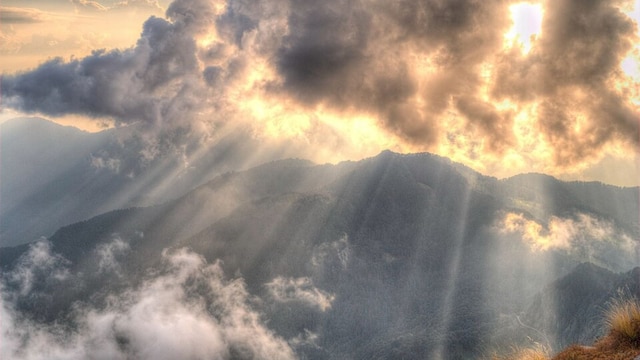
5/10Chandrashila Peak, Uttarakhand | Standing at over 12,100 feet above sea level, this Himalayan summit sits directly above the ancient Tungnath Temple, offering a 360-degree panoramic vista of prominent peaks like Nanda Devi, Trishul, and Chaukhamba emerging through a vast blanket of valley clouds below. Travellers can fly into Jolly Grant Airport in Dehradun or take a train to Rishikesh/Haridwar, drive about eight hours to Chopta, and complete a 4.5-kilometre paved-to-rocky summit hike via Tungnath. (Image source: Wikimedia Commons)
 6/10
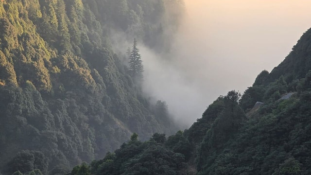
6/10Triund, Himachal Pradesh | Perched on an alpine ridge at the foot of the Dhauladhar range at roughly 9,350 feet, the Triund meadow overlooks the vast Kangra Valley, which frequently stays submerged under a thick sea of white clouds while the sun shines brightly along the ridge. To visit, fly into Kangra Airport (Gaggal) or take an overnight bus from Delhi to McLeod Ganj/Dharamshala, then complete a well-marked day trek (approx. 6 to 9 km depending on whether starting from Gallu Devi Temple or McLeod Ganj/Dharamkot). (Image source: Wikimedia Commons)
 7/10
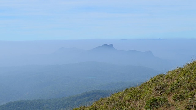
7/10Mullayanagiri, Chikkamagaluru, Karnataka | As the highest peak in Karnataka at approximately 6,330 feet in the Chandra Dhrona range, Mullayanagiri often leaves visitors standing completely above the cloud line, watching thick morning and monsoon mists drift silently across emerald mountain ridges below. The summit is located around 250 kilometres from Bengaluru and 22 kilometres from Chikkamagaluru town, accessible by road up to the upper parking bay followed by a walk up roughly 500 stone steps. (Image source: Wikimedia Commons)
 8/10
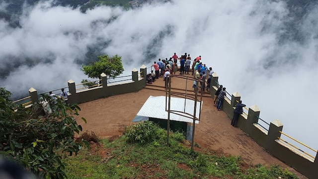
8/10Dolphin’s Nose & Lamb’s Rock, Coonoor, Tamil Nadu | Set inside the UNESCO-designated Nilgiri Biosphere Reserve, these rock precipices look out over deep ravines and tea-covered mountain contours that regularly trap dense, billowy cloud layers below the cliffs. Visitors can reach Coimbatore International Airport (CJB), drive two to three hours up the Nilgiri ghats to Coonoor (or take the heritage Nilgiri Mountain Railway from nearby Mettupalayam), and hire a local taxi straight to the viewpoints. (Image source: Wikimedia Commons)
 9/10
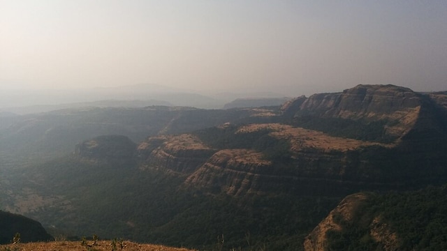
9/10Tiger Point, Lonavala, Maharashtra | Perched at an elevation of roughly 2,130 feet with a sheer drop into the deep ravines below, Tiger Point creates the illusion of standing above the sky, particularly during the monsoon and early winter months when mists cascade upward and clouds carpet the valley floor. Located about 80 kilometres from Pune and 95 kilometres from Mumbai, it is reachable via the Mumbai-Pune Expressway to Lonavala, followed by an 11-kilometre drive along the INS Shivaji road. (Image source: Wikimedia Commons)
 10/10
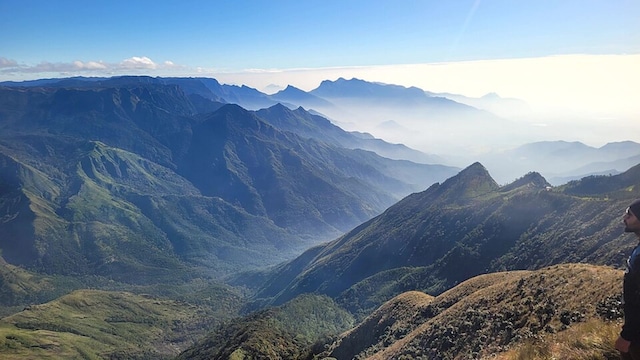
10/10Meesapulimala, Idukki, Kerala | The second-highest peak in the Western Ghats at 8,661 feet is renowned for its vast, rolling blankets of clouds that resemble white ocean waves breaking over high-altitude shola grasslands and rhododendron valleys. The summit is accessible by travelling to Munnar via Cochin International Airport, taking a pre-booked Kerala Forest Development Corporation (KFDC) jeep up to the Rhodo Valley base camp, and completing an authorised 8-kilometre guided ridge trek to the top. (Image source: Wikimedia Commons)